Copyright 2026 © swekartor. All Rights Reserved.

Information about GPS Satellite Maps: Live Earth
App Feature
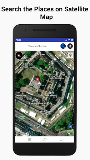
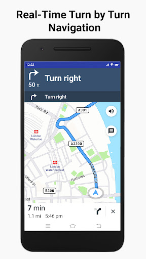
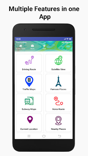
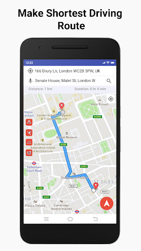
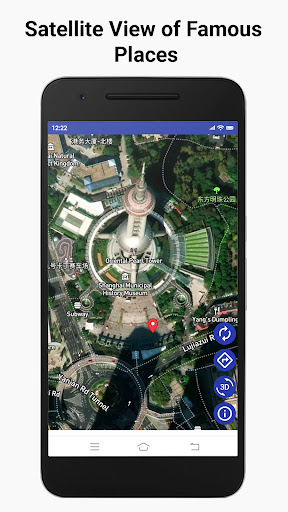
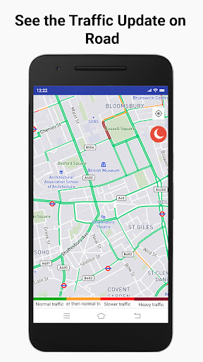
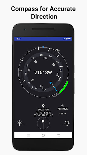
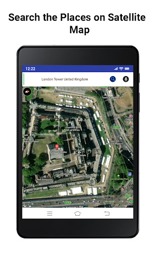
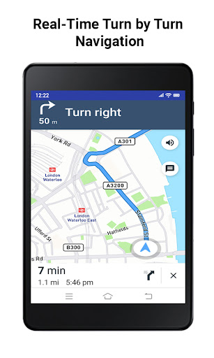
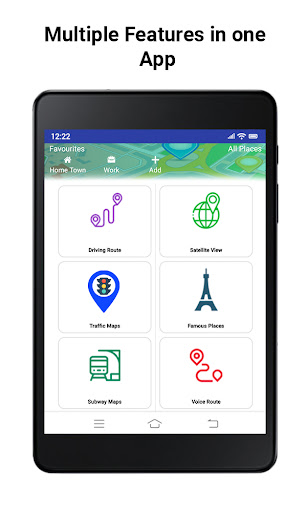
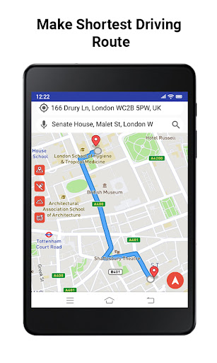
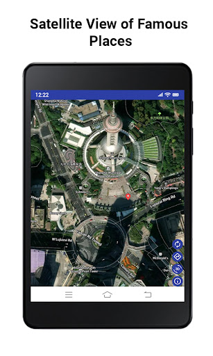
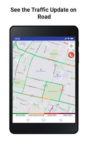
GPS Satellite Maps: Live Earth bundles real-time GPS navigation, satellite/street views, offline map access, voice-guided routes, compass/speedometer, parking locator, distance measuring, and travel utilities (currency converter, world clock, country info, STD codes, QR scanner). It aims to be an all‑in‑one explorer and trip helper for locating places, planning routes, and viewing the world via satellite imagery.
Verdict
Verdict: A feature-packed, ad-heavy navigation companion best for casual exploring and basic routing, not a replacement for top-tier turn‑by‑turn apps.
Who is it for
Best for:
- Travelers and explorers who enjoy satellite and street-view browsing.
- Users needing simple voice navigation, parking reminders, and distance tools.
- Offline map users who want basic routes when connectivity is spotty.
Not ideal for:
- Power users needing industry‑leading traffic, lane guidance, and reliability.
- Ad-averse users who prefer a cleaner, distraction-free experience.
- Professionals who require advanced offline routing and detailed POI data.
Real-world User Experience
Users like it:
Frequent praise for easy navigation, quick location finding, voice directions, and the fun of exploring places worldwide via live/satellite maps and street view. Users highlight helpful extras (speedometer, compass, parking saver), and appreciate offline usability when out of signal.
Users complain about:
The dominant complaint is too many ads. Some comments imply occasional image clarity/coverage limits and generic map data constraints versus major map apps.
Is it Worth Paying For?
The app is free with ads and offers IAP; if the free version’s ad load bothers you, paying to remove ads (if that’s what the IAP provides) could be worth it. Otherwise, the free tier delivers solid value for casual use.
How it Compares to Alternatives
Compared with Google Maps and Waze, this app is weaker on real-time traffic, incident reports, lane-level guidance, and POI depth but stronger on bundling exploration utilities (satellite browsing, distance tools, parking saver) in one place. Against HERE WeGo and MAPS.ME, it offers a broader toolkit and fun exploration features, but its offline routing depth and polish are usually behind those dedicated offline apps.
Summary
GPS Satellite Maps: Live Earth is an all-in-one navigation and exploration toolkit combining real-time GPS, satellite/street views, offline maps, and handy extras like voice guidance, a compass, speedometer, distance calculator, and a parking locator. Reviews suggest it’s simple to use, fun for virtual exploring, and genuinely helpful for basic routing—especially when signal is weak—while ads are the primary drawback. It doesn’t surpass category leaders for advanced traffic-aware navigation, but as a free, utility-rich companion for travelers and curious explorers, it delivers good value and versatility.

Ratings
Trending APP


Alternative to this app