Copyright 2026 © swekartor. All Rights Reserved.
Information about Live Earth Map 3d : Satellite View - World Maps
App Feature
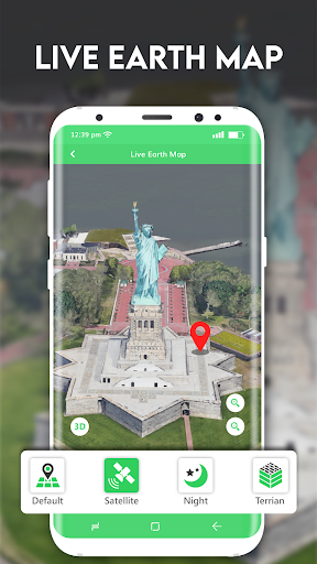
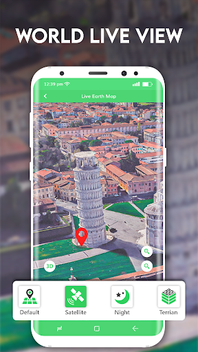
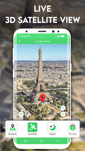
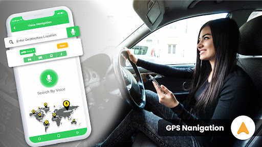
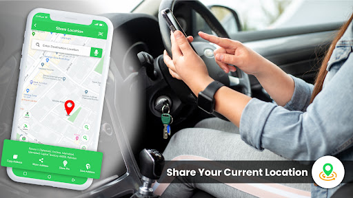
A lightweight maps app focused on 2D satellite view, basic GPS navigation, route planning, nearby place search, distance measurement, and quick location sharing with multiple map modes (normal, satellite, night).
Verdict
Verdict: A fast, lightweight alternative for basic satellite viewing and simple navigation, but not a substitute for real-time imagery or full-featured map suites.
Who is it for
Best for:
- Users who want quick 2D satellite views and simple routes
- People who need easy location sharing and nearby place lookup
- Older or budget devices where heavier apps feel slow
Not ideal for:
- Anyone expecting live or frequently updated satellite imagery
- Power users who need advanced navigation, live traffic, or rich 3D
- Travelers who rely on comprehensive offline maps
Real-world User Experience
Users like it:
Fast, responsive alternative to heavier apps; easy to use for quick satellite viewing and basic navigation; convenient for sharing current location.
Users complain about:
Satellite images can be several years old and are not real-time; limited depth compared to Google Earth/Maps; ads are present (with optional IAP).
Is it Worth Paying For?
The app is free with ads and offers IAPs (likely for removing ads or minor upgrades). For casual use, the free version suffices. Consider paying only if you use it frequently and want an ad-free experience; it doesn’t add live imagery.
How it Compares to Alternatives
Compared to Google Maps, it’s lighter and simpler but lacks robust turn-by-turn features, live traffic, transit, and extensive POI data. Versus Google Earth, it’s faster on modest devices but offers less-detailed imagery and fewer 3D experiences. Apps like HERE WeGo excel in offline navigation; this app focuses more on quick satellite viewing and basic routing.
Summary
Satellite View - GPS World Map delivers a fast, straightforward way to view 2D satellite maps, plan simple routes, find nearby places, measure distances, and share locations. It’s well-suited for quick lookups and lighter devices, trading depth and recency for speed and simplicity. Imagery is not real-time and can be outdated, but the app’s responsiveness and ease of use make it a practical companion for casual map tasks. If you need comprehensive navigation, live traffic, rich 3D, or frequently refreshed imagery, you’ll still rely on bigger names; otherwise, this app is a handy, no-frills satellite view and navigation helper.


Ratings
Trending APP


Alternative to this app