Copyright 2026 © swekartor. All Rights Reserved.

App Feature
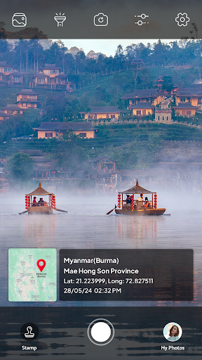
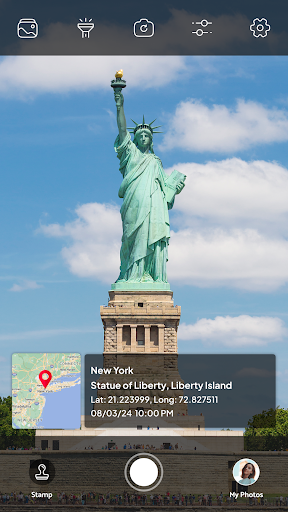
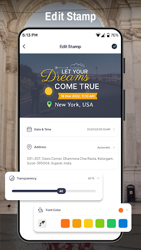
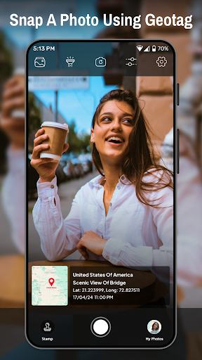
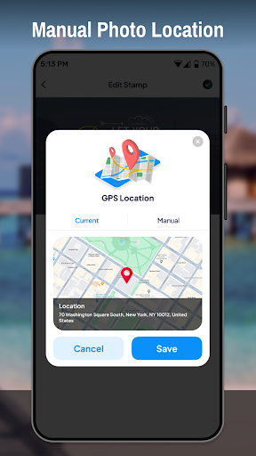
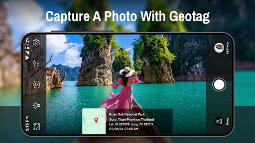
Tagofy is a free geotagging camera app that takes photos and automatically embeds precise GPS coordinates, along with optional timestamps and location descriptions, in a clean, beginner‑friendly interface.
Verdict
Verdict: A handy geotag camera for straightforward location-stamped photos, though power users may want more controls.
Who is it for
Best for:
- Travelers and field workers who need location-stamped photos
- Users who want a simple camera with automatic GPS tagging
- People organizing photo archives by place and time
Not ideal for:
- Photographers seeking advanced manual camera controls or RAW
- Users needing offline maps or robust GIS-grade metadata
- Those who require enterprise workflows and integrations
Real-world User Experience
Users like it:
The straightforward interface and reliable automatic geotagging when GPS signal is strong; quick access to coordinates; helpful timestamps and location notes for context.
Users complain about:
Occasional GPS lock delays or accuracy variance in challenging environments; limited pro-grade camera settings; potential interruptions typical of free apps (e.g., ads).
Is it Worth Paying For?
The app is free, and based on the provided info there are no noted in‑app purchases. If you only need basic location stamping and timestamps, the free version is sufficient.
How it Compares to Alternatives
Compared with alternatives like Open Camera (which offers broader manual controls) or Timestamp Camera apps (which focus on overlay customization), Tagofy emphasizes ease of use and clear geotag metadata. Google Photos can infer or edit locations post‑capture, but Tagofy embeds coordinates at capture time, which is more reliable for audits and fieldwork. It’s less feature-dense than professional survey/GIS tools, but faster to use for everyday geotagged snapshots.
Summary
Tagofy - Geotag Map Camera focuses on one job—capturing photos with accurate, embedded GPS coordinates—and does it with a minimal learning curve. Its customizable metadata (timestamps and location descriptions) helps you build a portable map of your memories or field documentation without extra steps. With a 3.8 rating and 10M+ downloads, it hits a practical balance for most users who value simplicity over advanced camera controls. If you need professional shooting modes, offline mapping, or enterprise workflows, you may outgrow it; otherwise, as a free, no-fuss geotagging camera, it’s a solid pick.
Ratings
Trending APP


Alternative to this app